Why Geological Models Matter
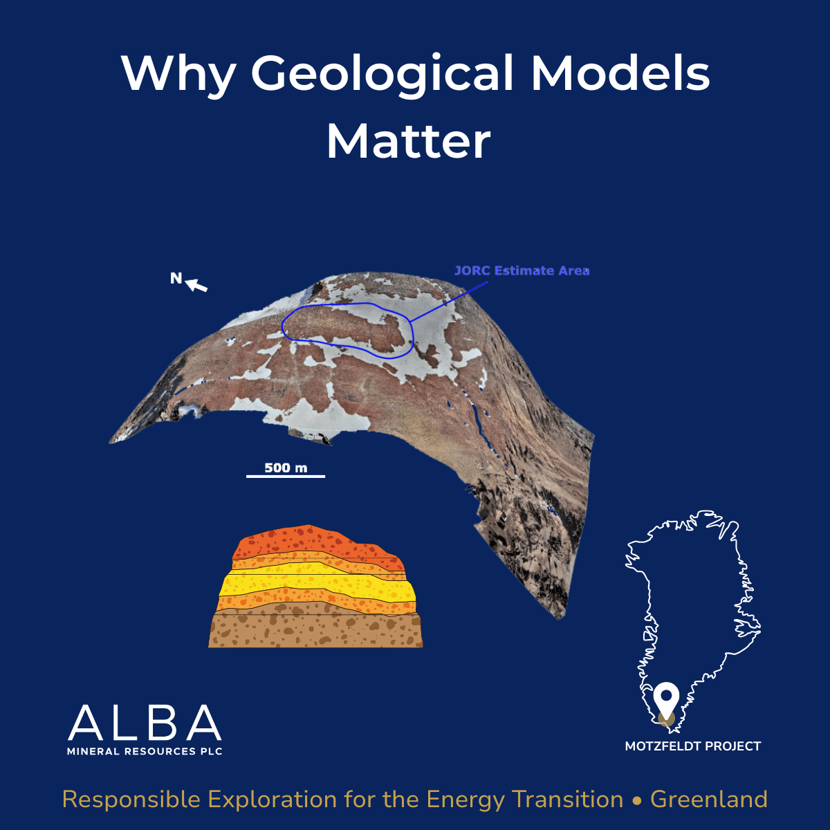
Geological models are the subsurface “blueprints” that guide exploration decisions. They are working 3D interpretations built by combining mapping, drilling, sampling, structural observations, lab work, and any geophysics or remote sensing available.
The key point is this: models are not fixed. Every new dataset tests assumptions and either confirms, refines, or forces a rethink. That is how exploration becomes more targeted over time. Less noise, more specific questions, better targeting.
At Motzfeldt in South Greenland, building the model is especially important because the mineral system is specialist and multi stage. Alba’s interpretation has been strengthened by published academic work led by Dr Curtis Rooks, which helps add context on how rare earth elements and associated critical minerals occur within the intrusive centre. That kind of technical grounding helps prioritise targets and design follow up work with intent.
Motzfeldt sits within the Gardar alkaline province, around 1.3 billion years old. GEUS has historically reported a very large tantalum occurrence at Motzfeldt (often cited as around 600 million tonnes at ~120 ppm Ta). This is historical information and not a current Mineral Resource, but it gives a sense of the scale of the system that modern modelling is trying to understand more precisely.
#Exploration #Geology #CriticalMinerals #RareEarth #Greenland #ResponsibleMining #AlbaMinerals
0
likes
•
0
questions
•
0
company answers
Ask a question
Your question will be sent privately to Alba Mineral Resources. The company may choose to make this question public.
Investor Q&As
Start the conversation
Ask Alba Mineral Resources a question about this update.